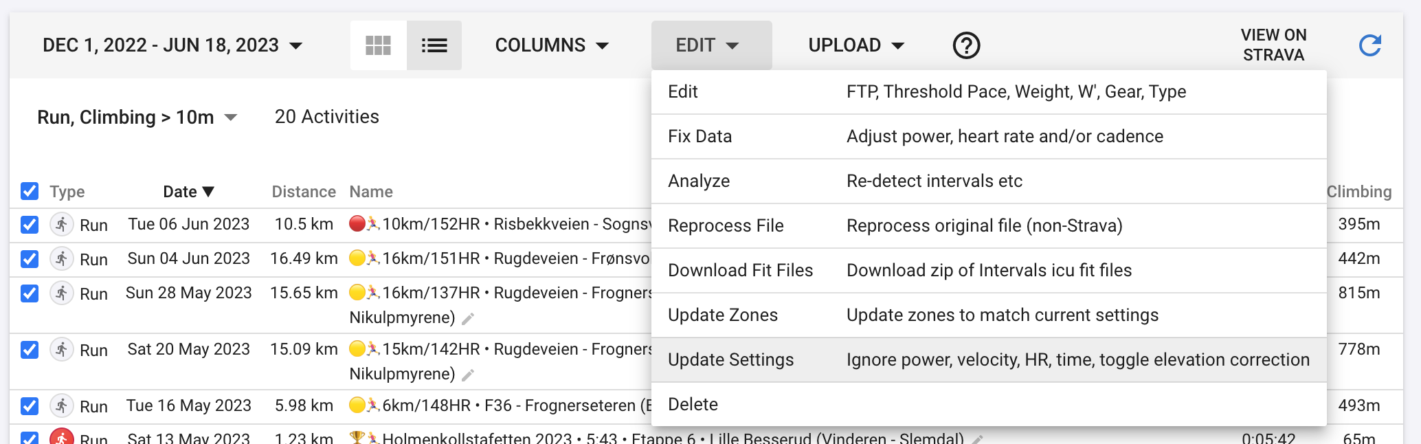
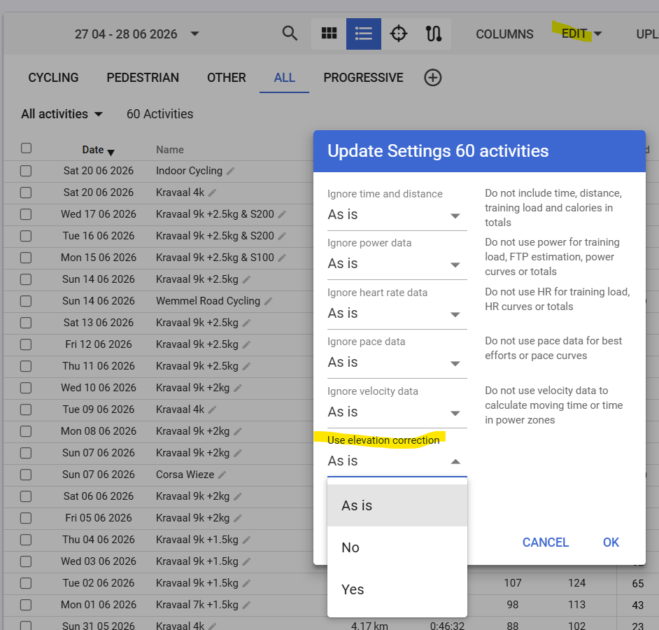
I plotted altitude (grey) and fixed altitude (red, using the topo maps and GPS data) on a chart. They track closely but the fixed line is a lot more noisy due to GPS jitter (I zoomed in on the map) and all those supposed little bumps are counted as elevation gain.
No it still happens. That threshold is 1.2m currently. I experimented with making it much bigger when using fixed altitude. For this example and the other thread it needs to be 10m to get the climbing to come down to close to the watch number. I think thats too high. The GPS is just too noisy.
Would it be possible to make this threshold a user adjustable field? I find that the original vs “fixed altitude” struggle independently from the smoothing in some instances. Currently, the issues with the topo map in my area make GAP fairly useless.
If you set the first historical activity to yes/no, all following activities will get the same value. At least for me this was the case, even for existing activities after that.